Oct 13, 2026
golf green mapping, tournament scoring, green reading, Live Tourney, golf course management
Golf Green Mapping. Learn how to create and use golf green maps for pin placement, pace of play, and tournament integration with live scoring.

You're halfway through a tournament setup when the questions start coming in. Players want to know where the pin sits, caddies are checking whether a ridge will feed a putt away from the hole, and your staff is answering the same green-reading questions at the first tee. Without reliable golf green mapping, a demanding setup quickly becomes a communication problem.
A tournament-ready map does more than make a green look polished on a page. It connects survey data, pin placement, player information, rules compliance, and live scoring into one workflow. The right process helps the superintendent prepare the course, gives competitors consistent information, and gives the tournament team a dependable digital reference from registration through final results.
Why Golf Green Maps Matter for Tournament Play
A 150-player scramble can expose weak course information quickly. Suppose the greens are fast and the hole locations sit near subtle ridges. One group asks whether the putt breaks toward the front, another disputes the pin sheet, and a third spends several minutes walking around a putt that looks flat but isn't. Staff members then become the map, the rules desk, and the pace-of-play monitors at the same time.
A reliable map changes that dynamic. It gives the tournament committee a shared visual reference before play begins, so the pin sheet, player materials, and digital event information all use the same underlying view of the green.

Better setup decisions
The first operational benefit is pin placement. A contour model shows where a hole location sits in relation to tiers, ridges, falloffs, and changes in elevation. That helps the committee avoid locations that are visually attractive but unfair at the planned green speed. It also supports intentional variety, with accessible positions and demanding positions selected from the same measured surface.
The map doesn't replace a superintendent's judgment. Moisture, mowing, firmness, weather, and the day's speed still matter. It gives that judgment a dependable topographic base.
Fewer repeated questions
A clear player-facing map can also improve the flow around the green. Competitors still need to read the putt themselves, but they won't have to guess whether a barely visible tier exists or ask three different officials for the same explanation.
Practical rule: Give every player the same factual course information, then leave the decision and execution to the player.
That distinction matters. A map should describe contours and slope direction. It shouldn't secretly become a line-reading service that recommends where to aim.
A more consistent tournament experience
The strongest workflow carries the same hole identity across the pin sheet, yardage book, player portal, and scoring system. If the map labels the green one way while the digital scorecard uses another hole reference, even accurate information becomes difficult to use.
Tournament directors should treat golf green mapping as part of course administration, not as a decorative add-on. The useful deliverable is the combination of a verified surface model, a controlled pin-location process, clear player communication, and a digital record that staff can update without rebuilding the event.
The Three Core Purposes of Tournament Green Mapping
Tournament green maps serve three practical purposes, and each one addresses a different source of friction.
Pin placement comes first. The USGA and R&A have discussed hole locations as commonly being placed on sections with less than approximately 3.5 percent slope, or about 2 degrees, because flatter areas are more suitable for putting. The same rulemaking discussion proposed showing slope indications generally only for slopes of 4 percent or greater, equivalent to about 2.29 degrees (USGA and R&A green-reading materials discussion). Those figures don't turn setup into a formula. They show why a surface that appears level can still affect speed, direction, and fairness.
Pace of play is the second purpose. Players who can see the general shape of the green before they stand over the ball can prepare more efficiently. They still need to judge grain, speed, moisture, and their own stroke, but they aren't starting with incomplete information. In a league, that may mean fewer questions at the green. In a championship, it means the same contour reference is available to competitors who are permitted to use it.
The third purpose is communication control. A tournament committee needs one version of the truth for staff, caddies, players, and officials. A mapped green can support a pin sheet, a briefing document, or a digital hole view. Without that common reference, staff may describe the same ridge using different language, while players interpret informal guidance differently.
These purposes work together during a live event:
Setup staff use the surface model to select and record a hole location.
Player services teams distribute approved contour information in a consistent format.
Rules officials check that the material describes the green without crossing into prohibited recommendations.
Scoring staff connect the hole reference to the event's digital record.
A weekly league doesn't need the same production process as a championship. It does need the same discipline around version control. If the pin moves after printing, update the digital record and communicate the change before players reach the hole. The map supports the decision, but the tournament team remains responsible for making the information current.
Surveying Greens and Accuracy Standards
The first surveying mistake is choosing a method because its headline resolution sounds impressive. Accuracy is fit for purpose. A player-facing break map, a renovation-grade contour model, a drainage study, and an as-built record don't require identical workflows.
Golf green mapping developed from conventional course surveying into dense three-dimensional surface modeling. One documented practitioner began mapping courses with survey-grade GPS in 2002, initially producing general as-built information for golf-course architects. In 2009, a Leica ScanStation 2 laser scanner captured as many as 30,000 points per second, with typical datasets averaging approximately 60 million points. Pinehurst No. 2 was scanned and modeled in 2014 for Greens Contours books associated with the U.S. Open. A later Leica ScanStation P20 could capture up to 1 million points per second, representing subtle breaks, ridges, tiers, and elevation changes that are difficult to identify visually (documented history of golf green scanning).
Match the method to the deliverable
Use the following sequence before commissioning a survey:
Define the decision. Are you setting tournament pins, documenting construction, studying drainage, or producing a player map?
Set the required contour interval and vertical tolerance. A visually attractive image isn't enough if the underlying measurements can't support the decisions you need to make.
Check control and validation. Ground control, capture conditions, vegetation, equipment setup, and independent checks affect whether apparent precision reflects proven accuracy.
Specify the final format. Request the actual contour model, slope representation, map image, coordinate reference, and update procedure, not just a finished graphic.
A peer-reviewed green-survey study found that RTK GPS was easy to use but insufficiently accurate for contour intervals of 0.05 meters or less, while laser scanning and robotic total-station methods produced suitable results. The robotic total station was preferred for practical usability (peer-reviewed green-survey study). That doesn't make RTK useless. It means the tournament director shouldn't order a high-detail contour product and assume every capture method can support it.
For a club that needs repeatable tournament maps, a robotic total station may offer a practical balance between usable detail and field control. A laser workflow may suit complex surfaces or a renovation project. A GPS-based survey may be appropriate for broader as-built information. The correct choice depends on the question the map must answer, not on the most dramatic specification.
For tournament operations, also keep a controlled update record. If a green is renovated, a collar changes, or a temporary surface is introduced, the old map should be marked obsolete rather than reused. A useful overview of course-position verification and mapping workflows is available in this guide to GPS systems for golf courses.
Mapping Tools and Formats for Different Tournament Scales
A weekly league can waste money on a survey no one maintains. A championship can create disputes when staff rely on a phone photograph without control points. Select the mapping method according to the event's competitive standard, the number of greens, how often positions change, and who will maintain the files.
Tournament Type | Recommended Method | Cost Range | Time Investment | Output Format |
|---|---|---|---|---|
Weekly league | Existing course map, verified pin sheet, and simple digital green references | Qualitative, keep expenditure low | Short preparation cycle and repeatable updates | Mobile-friendly PDF or web page |
Corporate or charity outing | Professionally prepared course and green graphics with a controlled pin sheet | Qualitative, moderate event spend | Preparation before player communications | Branded PDF, player link, and printed quick reference |
Club championship or interclub competition | Survey-grade contour model with validated green outlines and approved player materials | Qualitative, higher precision requirement | Field verification, review, and version control | Compliant yardage book, digital reference, and committee records |
Weekly leagues
Recurring leagues benefit from consistency more than visual complexity. Use a verified base map, record each hole location clearly, and publish a file players can open without special software. A phone sketch can assist staff during setup, but it should not serve as a renovation survey or precise contour model.
If staff are preparing a broader property reference rather than a tournament map, this guide to landscape software for homeowners helps distinguish general layout tools from survey-grade course information. Such tools can support visual planning, but they do not establish the accuracy of a putting-green surface.
Corporate and charity outings
These events need presentable materials that also work under time pressure. Place a branded PDF alongside the tee sheet and event instructions. A web link gives players access across devices, particularly when the organizer does not want participants to install a dedicated application.
Assign ownership before publication. One person should approve the final pin locations, check hole labels, and compare the digital and printed versions. A polished map with inconsistent versions creates avoidable questions at registration and on the first tee.
Championships and interclub events
Competitive events require documented validation and a rules review. Store the underlying survey file, approved output, pin sheet, and publication date together. For a practical reference on creating and distributing course-map assets, see this guide to custom golf course maps.
Digital delivery suits events where updates may occur, while printed books provide a stable reference during play. Either format must remain within the event's approved production limits and show factual contours rather than calculated playing instructions. Before release, test every player-facing file on the devices and paper sizes the event will use. That final check connects map creation to distribution, scoring operations, and committee control.
Regulatory Constraints and Compliance Guidelines
A map can be accurate and still be illegal to use during a round. Tournament staff should review both the content and the way the content is displayed before publishing player materials.
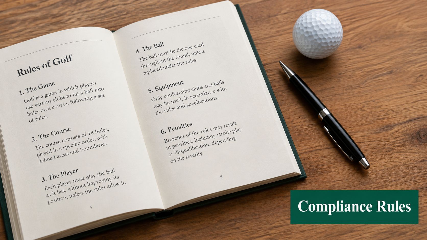
Under the USGA and R&A limits that took effect on January 1, 2019, a putting-green map used during a round must use a scale of 3/8 inch to 5 yards or smaller, equivalent to 1:480. A printed book or paper containing a green map may not exceed 4.25 by 7 inches, while a hole-location sheet showing at least nine holes may be larger if each individual green image still meets the scale requirement (USGA green-reading materials proposal.pdf)).
Build compliance into production
Before sending files to print or uploading them to a player portal:
Check the map scale. Don't resize a compliant file during export without rechecking it.
Check the physical format. Measure the finished book or sheet, not only the design canvas.
Remove line recommendations. The map may show factual contours, but it shouldn't calculate or recommend a line from the ball's location.
Test digital behavior. The USGA interpretation prohibits magnifying a putting-green image beyond the permitted scale or size, except through ordinary prescription glasses or contact lenses.
Record the local rule. Tell players which materials are approved for the event.
The PGA Tour applies a separate policy requiring approved yardage books with general information about green contours rather than highly detailed technology-derived maps. Beginning in 2022, books from 2021 and earlier could not be used under the Tour's Local Rule. Players may add handwritten information from first-hand observation or experience, but they may not copy it from another source. Devices, levels, and other technology also can't be used during competition to collect notes about green contours (PGA Tour green-reading policy).
Your scoring platform can distribute a link to approved information, but it can't override the competition rules. Have the committee approve the map version, display behavior, and player instructions before the first tee time.
Integrating Green Maps with Live Tournament Systems
A pin moves on Thursday morning, the tee sheet is already public, and players open the map from their phones. If those records do not match, staff spend the event correcting avoidable confusion. The working connection is between the approved green map, the hole, the pin position, and the player-facing record.
Set up one event structure before publishing anything. Name each file with the course, hole, revision, and publication status. Upload the approved green reference and attach it to the matching hole in the tournament platform. If the committee changes a pin, update the pin record and player communication together. Replacing an image does not necessarily change hole-location data.
A workable event sequence
Prepare the source files. Check green outlines, hole numbers, orientation, scale, and the approved contour presentation.
Create the event record. Build the roster, tee schedule, scoring format, and hole structure before attaching player-facing materials.
Link green information. Put the relevant map beside the hole-specific details, rather than storing unlabeled images in one folder.
Test the player view. Open the material on a phone and desktop, confirm loading, and check that no prohibited magnification or recommendation feature appears.
Reconcile after play. Keep the final pin record with the scorecard and event report, so staff can investigate disputes from one event history.
Live Tourney provides browser-based event setup, roster and pairing administration, live leaderboards, and customizable reports for scorecards, tee sheets, cart signs, and bag tags. Its player access does not require an app download, which suits organizers who want browser access. The platform reports 10,000+ events and 1M+ holes scored, a 40% increase in live scoring participation, and 3x faster setup compared with traditional methods, according to its platform information.

Place the map in the same communication system as the tee sheet and live results. Players can review approved information before reaching a green, while staff keep scoring, reports, and event records tied to the same hole structure. The guide to real-time golf tournament scoring covers related workflow considerations.
Audit the handoff with four questions: Which file is approved? Who controls pin updates? Can a player find the correct hole without help? Does the final report preserve the same hole and pin references used on the course? Resolve unclear answers before adding more technology.
Live Tourney gives tournament teams browser-based event management, live scoring, app-free player access, and customizable reports for scorecards and tee sheets. Use it to connect green mapping with the event record, then visit Live Tourney to review the platform and plan the tournament operation.